Day 4 had an early start… at 7:45 am. We had to make William Creek some 300km away… but that involved tackling some dirt tracks of unknown quality, and taking in several points of interest. We cruised up to Marree, so the first 100 km was easy. Before Marree we stopped at the Strzelecki Track turnoff for a cup of coffee (at Lyndhurst). The Strzelecki Track was founded by Captain Moonlight of cattle duffing fame. You did not need much skill to pinch cattle at night in this part of the world! The cattle would follow you just for a bit of entertainment.
 |
| Deserted ruins of Farina Downs |
We left the bitumen at Marree and soon got the hang of things. We were on the Oodnadatta Track and we kept our eyes out for blokes humping their blueys along the dusty track being accosted by semi-trailers with high and canvas covered loads. (Apologies to Lucky Starr!) Disappointingly, no swaggies… no semis. Still the location names remained very special. When we checked out the Birdsville Track, we were tempted to detour for a couple of hours just so we could say “I’ve been Everywhere, Man”.
 |
| Dog proof fence to protect sheep from dingos |
This part of the world is full of heartbreaks. We called in at Farina Downs, a town that prospered in the days when the old Ghan railway went that way. The founders were convinced they had started a large wheat-growing centre and successfully lobbied the Government to change the name of the town from “Government Gums” to “Farina Downs” (Farina means flour in some language??? Italian?). Population of Farina peaked at 260 in 1935. The 1st world war was kind to Farina with troop movements bolstering the economy of the town. Shearers would train to Farina; disembark with their bikes and cycle to all the sheep stations nearby. Kidman (of Grass Castles fame) moved his stock through Farina at regular intervals, the publicans and goalers had a busy time. Now the remains show the misplaced confidence of the pioneers. The place is just so remote and the vegetation of low saltbush must have been a give-away that rain was scarce. Still they ran with the flow over 2 decades of good rains and invested their lives in building a desert settlement with no future.
 |
| 4-wheel drive needed? Definitely |
The unsealed road was not badly corrugated and we were able to maintain speeds of 90-100 kph for many long stretches. We were pleased to encounter some creeks that flooded the road and were able to slip into 4-wheel drive to enhance the delusions that we were battling all the elements that the desert could throw at us. The desert was deserted. The Oodnadatta Track followed the Old Ghan railway and the only buildings regularly seen were the derelict railway sidings used to top up the water in the steam-trains.
 |
| Mound Springs build into mounded hills |
We enjoyed a short stop at Clayton Springs. The early settler was looking for water and knew that artesian springs were common in the area. He sunk his spade into the soil and released a spring that shot 2 metres into the air. He could not stop the flow and it has flooded a swamp some 5 square kms in area that has now been classified as an environmentally important site for the unique range of plants and birdlife that have settled. The site was used by the old Ghan Railway to locate one of its sidings. For a couple of decades, Clayton Springs attracted a range of colorful characters. Now, the area is privately owned and the family maintain the springs as a camping and swimming site to amuse passing tourists, and to protect the historical value of the area.
The average age of the passing drivers must be close to 70 yrs. The increase in the price of petrol has not chased away the grey nomads. They are still everywhere. And when you come across a tourist bus, the average age of the tourist jumps another decade. All these nursing homes must be empty. The oldies are all in the desert in South Australia.
 |
| Luxury accommodation at William Creek |
About 50 km before William Creek, we saw Lake Eyre South - our first sighting of the main purpose of this trip. What we were seeing appeared to cover a huge area but in reality was just one fraction of the “real” Lake Eyre.
 |
Business cards, hats, thongs decorate the walls
of the pub at William Creek |
The final stages of the road into William Creek was the worst we have travelled on - so many corrugations we were nearly shaken apart. As for the “town” - the population is 2! Walked into the pub to check into our room and were directed to the camp-ground to find our “room” was one of 6 in a shed like a shipping container! Opened the door and there was room for a double bed - nothing else! A hook on the wall for hanging. The door to the room even had to open out! The pub itself was something else - every inch of its walls was covered with business cards, hats, caps etc - and the bar was busy. Cowboy hats a-plenty -especially on Saturday night when the whole group of cowboys preparing for the Anna Creek Cattle Round-up hit town!
Anna Creek Station covers about the area of Belgium - the largest cattle station in the world! We were told that it carried 3,000 head of cattle (no sheep) and this drought lightened load is down from the maximum of 6,000 head. These numbers seem small for the largest cattle station in the world. When flying over the station, you can understand the modest carrying capacity. The desert has no grass or saltbush except in the (dry) river valleys. Six people are sufficient to run the place.
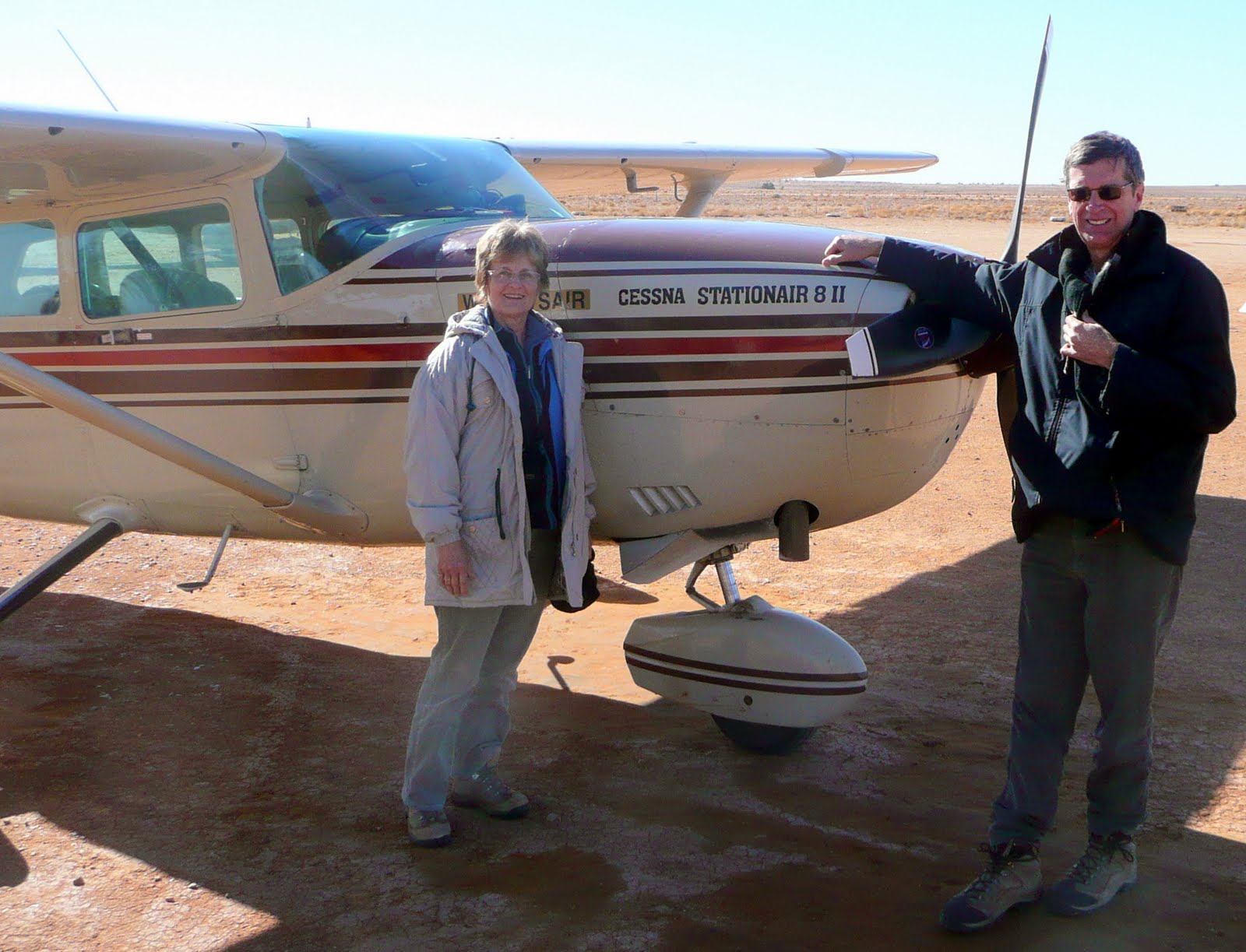
After a night that was much warmer and quieter than we expected [one benefit of the cold night - the campers all had to retreat early!] we scraped the ice off our windscreen [3 degrees!] and prepared for our flight. We changed our flight to an earlier time (to make better use of our day) and as a result flew over the Cooper River and Warburton River contributories, and missed out on seeing the painted hill… still a 2-hour flight. Six of us were seated according to weight - to balance the plane - and the pilot then decided there was a problem with his plane! Confidence boosting! However his technician decided it was just a bit of dust on the mechanism somewhere so off we went! Fantastic sights - hard to hear some of the commentary but we saw Donald Campbell’s track area [now covered with water], the pelican breeding ground, lots of other birds, and felt privileged to see the Cooper Creek flowing for the first time in 20 years. The pelican migration was interesting. They eat the perch fish [only a couple of centimeters long] as they are carried down the tributaries. When the fresh water of the tributaries hits the salt water of the lake, the fish are stunned and float to the surface. The pelicans get a free lunch with very little energy [if you ignore the 2,000 klm flight from the east coast.] They nest, to hatch their eggs, on an island in the lake for protection against rats and dingoes. The surface of the big lake is 15m below sea level. Only on the 50 year flood does the water of the North Lake Eyre flow through channels into South Lake Eyre. As we looked down on hundreds of square mile of the lake, we were surprised to be told that it would all evaporate before November. No fauna or flora seems to live in the salt part of the lake. The fresh water carries a brown colour until it mixes with the salt and reflects a smoother viscous blue surface. It is hard to find value to be attributed to Lake Eyre. It is a vast evaporation pan. It accumulates vast amounts of salts [that currently, nobody needs]. It supports no life… no vegetation chooses to grow on its edge. Even tourists take to air rather than dirty their boots tramping the gooey mud of the lake bottom.
|
Different water colours
were intriguing |
|
Lake Eyre was 70% full. When 100% full,
Lake Eyre North floods into Lake Eyre South |
|
The Cooper River in flow - first time
in 20 yrs |
|
Horses to be used in the Anna Creek Round-up |
 We needed to have the car back at the airport b y 12:00 noon, so had limited opportunity for extra events. Our visit to Dublin was probably the highlight (we were extremely toured-out by this time). We turned off the A1 highway to take a look at Gawler… a thriving centre on the border between the wheat and wine growing areas. Then we made our way to the airport… and here we are… exhausted…. elated… and looking forward to our next holiday.


 The road from William Creek to Coober Pedy was 162 kms of dust, salt beds and gibber desert. I doubt if we saw one animal during the drive and the only birds would have been migrating corellas and tiny finches. The place was deserted. Rainfall was probably less than 5 inches each year. The old sea floor was dead-flat as well as dead of life. Some salt bushes tried in vein to make a go of life. Just outside of Coober Pedy we crossed some riverbeds that had seen some water of late and colorful wild flowers had their moment of glory. We came to see the desert… and we found it all right!


 As part of our ’quiet day’, we took the Coal Mine tour. The mine was recently (5 years ago) sold for $330 million… a bargain when compared to the infrastructure invested in the town and the mine… but probably reasonable when discounting future net earnings. The coal produced is classed as ’brown coal’ because of its high sulphur content and other impurities. The power station at Port Augusta had to be specially designed to burn the type of brown coal mined at